What:
Green corridors in cities can be defined as linear natural infrastructure, such as trees and plants, that link up other green and open spaces to form a green urban network.
These networks provide both ecological services, such as habitats and resources for urban wildlife; whilst also providing services to urban populations such as mobility networks and access to green spaces through the provision of sustainable and active transport routes that link transport with mixed land use (residential, commercial, education, recreation etc) and open spaces.
Why:
The use of green corridors in towns and cities has shown that they can provide a number of benefits to cities and their resident (both human and wildlife).
Green networks that link parks, green open spaces and mixed land in cities can bring the following benefits:
- Increases in levels of walking, cycling and public transport use as modes of transport and that promote physical activity
- Enhances in social interaction in urban populations is more likely to occur as they link green spaces
- Green corridors can protect pedestrians from harmful pollution on open roads if planted strategically
- Increase positive levels of interaction for urban citizens with nature
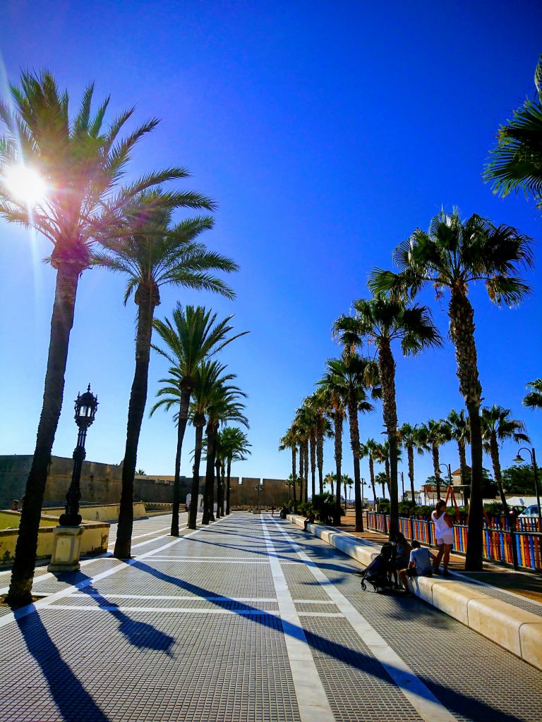
- The shade of tree canopies in tropical and temperate climates provides much needed walking infrastructure and protection from the sun
- Whilst trees planted in close proximity to each other can reduce both air pollution and the urban heat island effect
- Providing a natural network for wildlife to move through urban areas and by joining up green spaces has shown to increase biodiversity
For the purpose of this article in addition to the overall benefits, we will focus on the way green corridors can enhance both walking and sustainable mobility.
As the German Agency for Nature Conservation Guide to Urban Green Infrastructure states:
“Green infrastructure in the form of green corridors and paths designed with a view to the needs of pedestrians and cyclists can form the backbone of sustainable mobility”
How:
The success of green corridors is determined on the following:
Planning networks and connections
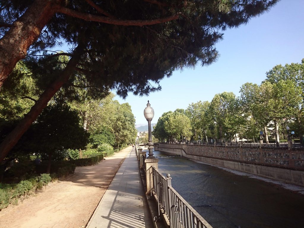
For green corridors to add the most value they need to provide connections between existing green spaces, community, commercial or transport hubs or all of the above; be large enough and provide opportunities for people and wildlife to utilise their services and reap the benefits.
- For example, some important metrics include: people are more likely to walk and visit a park if it is no more than a 10 minute walk (800m) from their home – so green corridors should aim to link and provide green spaces up to 800m from all housing; whilst trees can improve air quality locally up to 300ms distance but mostly up to 30ms and trees can reduce urban temperatures up to 30ms and parks up to their width away.
- Start with assessing what green networks already exist, map out the quantity and quality of these – grading them on the benefits they bring for both communities and wildlife.
- Then look at where the gaps are in the current network and what opportunities there are to link them up by creating new green corridors and enhancing existing networks.
Designing for the needs of communities
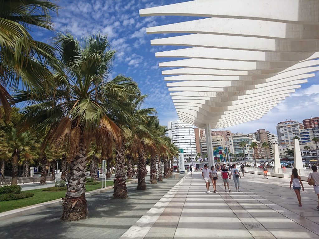
- As already mentioned a key part of the planning is looking at how the walking environment, mobility of urban citizens and access to green spaces can be improved through green corridors;
- Ensure corridors link with wider public transport networks (both existing and planned), provide accessible and well signed walking and cycling routes for people to use.
- Working closely with communities along the routes will also be essential – engaging, consulting and empowering them to add to input, create and take ownership of the network;
Designing for the needs of wildlife
- Conduct audits of the variety and quantity of flora and fauna in existing networks, and assess how they can be improved by enhancing green corridors;
- Analysis of these audits will guide how the plants and features of the network can be improved and whether planting and habitat creation is required in the network.
Integration of green infrastructure in urban development policies and practice
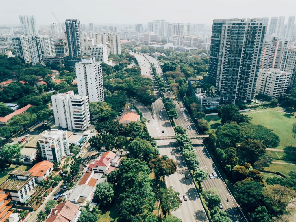
- Integrating green corridor enhancement and projects into city and district master plans and wider urban development strategies is essential. Whilst also making it a key element of all future projects, existing maintenance and development.
- This will ensure that at all opportunities for urban development and green infrastructure are taken and integrating green infrastructure is a priority for the city as a whole.
- Establishing targets for increasing canopy cover and the size and length of green networks and creating overarching green infrastructure strategies are essential.
Where:
Some great examples of cities and towns with established and successful green corridors and networks:
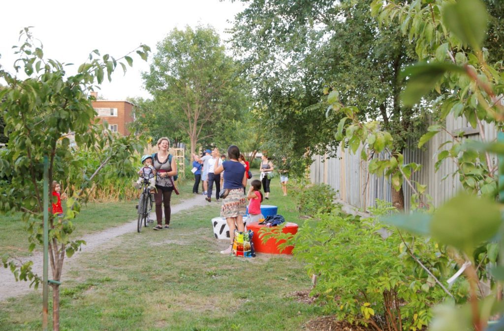
- Montreal: Montreal’s Green alleys network has retrofitted old walking infrastructure, such as alleyways, to create green walking network of 346 green alleys. Key to the success of the scheme has been extensive community engagement, citizen participation and ownership of the network.
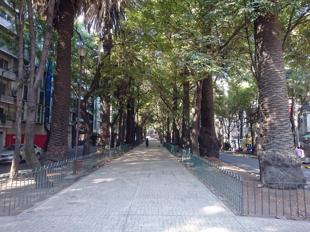
- Mexico City: with examples of both older green corridor infrastructure in the Roma and Condesa Districts providing shaded walking and cycling routes and also new projects such as the Ecoductor – Walking River. Show how walking can be heavily integrated into green and blue corridors. Linking with the city wide cycle hire scheme also.
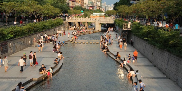
- Seoul, Cheonggyecheon River Corridor: the transformation of a huge freeway that had pollution and congestion problems to river corridor that has increased the amount of visitors, reduce car use, increased public transport use and reduced air pollution and created a green and blue corridor legacy for the city.
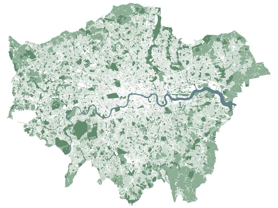
- London, National Park City: London utilises its extensive park, woodland, river and canal networks to create corridors that promote both mobility and urban wildlife. Which in 2019 earned it the title of the world’s first National park City – aiming to have 50% of the city as tree and green space. Whilst linking with London’s well connected and multi modal transport network and the Mayor’s Environment Strategy of 2018 linking improvements to transport and greenery through the healthy streets approach.
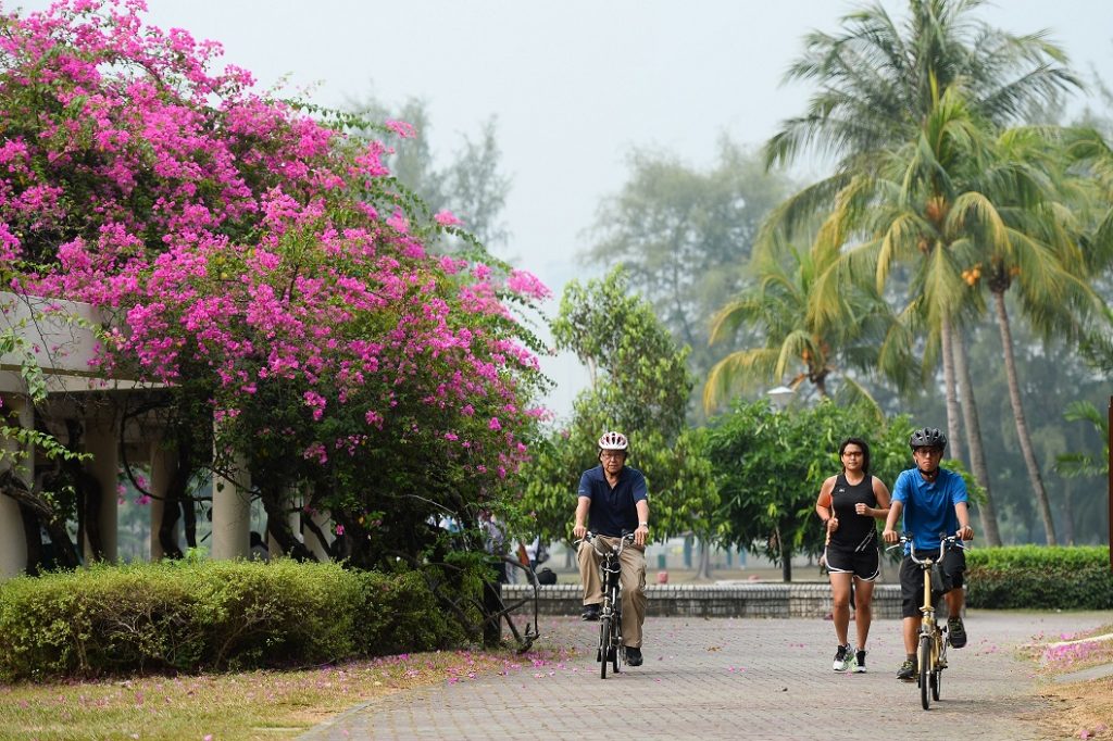
- Singapore: referred to as a city within a garden, Singapore has worked hard to maintain quality and quantity of public greenery in the island city. With a huge natural network that links its tropical parks and gardens with an extensive ‘Park Connector’ system and street greenery that promotes walking and active travel.
What next:
When planning new walking and cycling networks and planning the development of new urban areas, it is essential that we also create and enhance green corridors as a key part of sustainable cities.
As well as dedicated corridor programmes, green infrastructure corridors should be seen as an essential element of larger urban planning as well as smaller localised programmes; as they can provide added benefits to building, transport and public realm improvements. And can be added to through both small localised and large city wide initatives.
Published September 2019


